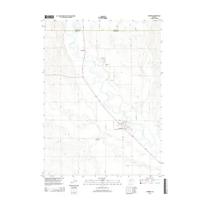
2014 Map of Scribner
USGS Topo · Published 2014About this map
The Elkhorn River meanders across this landscape, forming a complex network of oxbows and bends that define the geography between Scribner and the smaller community of Crowell. Located in the transition between Dodge and Cuming counties, the area is heavily influenced by its waterways, including Pebble Creek and Cuming Creek. The town of Scribner serves as a local hub, where Us-275 and Ne-91 intersect near the river's edge. This modern survey captures the persistence of rural institutions, such as the Manhattan Cemetery situated near a prominent river bend and the Scribner Municipal Cemetery on the southern outskirts. The rectilinear grid of county roads, such as Lone Tree Road, contrasts with the organic, shifting path of the river, illustrating the ongoing balance between agricultural land use and the natural drainage systems of eastern Nebraska.
Find a feature on this map
53 named features on this map. Tap any name to fly to it.
Don’t see what you’re looking for? This feature index may not catch every label — zoom into the map to look around manually.
Map Details
Editions of this 2014 Scribner Map
This is the sole edition of this map. No revisions or reprints were ever made.
Other maps of this area

1955 · Fremont
USGS Topo · 1:250,000

1957 · Fremont
USGS Topo · 1:250,000

1958 · Fremont
USGS Topo · 1:250,000

1966 · Scribner SW
USGS Topo · 1:24,000

1966 · West Point SE
USGS Topo · 1:24,000

1966 · Uehling
USGS Topo · 1:24,000

1966 · Monterey
USGS Topo · 1:24,000

1966 · Webster
USGS Topo · 1:24,000

1966 · Hooper
USGS Topo · 1:24,000

1966 · Snyder
USGS Topo · 1:24,000