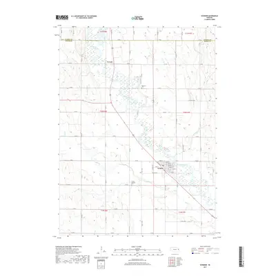
2017 Map of Scribner
USGS Topo · Published 2017About this map
The Elkhorn River meanders through a broad floodplain in this section of eastern Nebraska, defining the landscape between the settlements of Scribner and Crowell. The river's winding course is mirrored by its tributaries, including Pebble Cr, Silver Cr, and Cuming Cr, which cross a grid of section lines and county roads. In the town of Scribner, a detailed street grid includes names like Bridge St and Grant St, concentrated near the riverbank. Local history and genealogy interests are anchored by the Manhattan Cem situated north of town and the Scribner Municipal Cem located to the southwest. The map documents the boundary between Cuming Co and Dodge Co along its northern edge, showing the rural connectivity of the region through established routes like Co Rd 1 and Co Rd A.
Find a feature on this map
38 named features on this map. Tap any name to fly to it.
Don’t see what you’re looking for? This feature index may not catch every label — zoom into the map to look around manually.
Map Details
Editions of this 2017 Scribner Map
This is the sole edition of this map. No revisions or reprints were ever made.
Other maps of this area

1955 · Fremont
USGS Topo · 1:250,000

1957 · Fremont
USGS Topo · 1:250,000

1958 · Fremont
USGS Topo · 1:250,000

1966 · Scribner SW
USGS Topo · 1:24,000

1966 · West Point SE
USGS Topo · 1:24,000

1966 · Uehling
USGS Topo · 1:24,000

1966 · Monterey
USGS Topo · 1:24,000

1966 · Webster
USGS Topo · 1:24,000

1966 · Hooper
USGS Topo · 1:24,000

1966 · Snyder
USGS Topo · 1:24,000