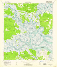
1954 Map of Seabrook
USGS Topo · Published 1959About this map
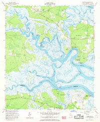
Sunbury and Seabrook stand as primary coastal settlements in this mid-century survey of the Georgia tidewater. The landscape is defined by an intricate network of saltwater passages, including the North Newport River, South Newport River, and Timmons River, which isolate large landmasses like Colonels Island. Local life is anchored by community landmarks such as Sunbury Ch, Palmyra Ch, and the Lebanon Cem.
Find a feature on this map
37 named features on this map. Tap any name to fly to it.
Don’t see what you’re looking for? This feature index may not catch every label — zoom into the map to look around manually.
Map Details
Editions of this 1954 Seabrook Map
2 editions found
Other maps of this area

1920 · Sapelo River
USGS Topo · 1:62,500

1920 · Limerick
USGS Topo · 1:62,500

1928 · St Catherines Island
USGS Topo · 1:62,500

1943 · St Catherines Island
USGS Topo · 1:62,500

1943 · Sapelo River
USGS Topo · 1:62,500

1944 · Limerick
USGS Topo · 1:62,500

1944 · Ossabaw Island
USGS Topo · 1:62,500

1945 · St. Catherine's Island
USGS Topo · 1:62,500

1945 · Ossabaw Island
USGS Topo · 1:62,500

1945 · Sapelo River
USGS Topo · 1:62,500