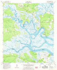
1954 Map of Seabrook
USGS Topo · Published 1969About this map
Seabrook and the surrounding coastal marshlands are defined by a complex network of tidal waterways and historic landings in this mid-century survey. The landscape is characterized by prominent peninsulas like Carrs Neck and Harris Neck, separated by the North Newport River and the Timmons River. Human settlement is concentrated on higher ground, with community hubs centered around Sunbury Ch and Palmyra Ch. Evidence of the region's aviation and maritime history is visible through Stevens Airfield and numerous river access points such as Halfmoon Landing and Drum Point Landing. The intricate drainage pattern of Payne Creek and Dickinson Creek showcases the low-lying topography where the land meets the Medway River. Notable for genealogists, the map identifies small cemeteries like Lebanon Cem and numerous Artesian Well sites scattered across Colonels Island and Eagle Neck.
Find a feature on this map
38 named features on this map. Tap any name to fly to it.
Don’t see what you’re looking for? This feature index may not catch every label — zoom into the map to look around manually.
Map Details
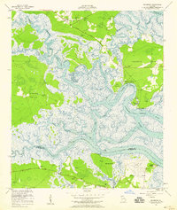
Editions of this 1954 Seabrook Map
2 editions found
Other maps of this area

1920 · Sapelo River
USGS Topo · 1:62,500

1920 · Limerick
USGS Topo · 1:62,500

1928 · St Catherines Island
USGS Topo · 1:62,500

1943 · St Catherines Island
USGS Topo · 1:62,500

1943 · Sapelo River
USGS Topo · 1:62,500

1944 · Limerick
USGS Topo · 1:62,500

1944 · Ossabaw Island
USGS Topo · 1:62,500

1945 · St. Catherine's Island
USGS Topo · 1:62,500

1945 · Ossabaw Island
USGS Topo · 1:62,500

1945 · Sapelo River
USGS Topo · 1:62,500