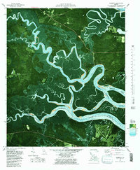
1979 Map of Seabrook
USGS Topo · Published 1997About this map
Harris Neck National Wildlife Refuge anchors the southern portion of this coastal Georgia landscape, where the labyrinthine waterways of the North Newport River and Medway River define the terrain. This orthophotomap combines traditional topographic data with aerial photography, revealing the intricate marshlands surrounding Colonels Island and the tidal transitions at Cross Tide.
Find a feature on this map
35 named features on this map. Tap any name to fly to it.
Don’t see what you’re looking for? This feature index may not catch every label — zoom into the map to look around manually.
Map Details
Editions of this 1979 Seabrook Map
2 editions found
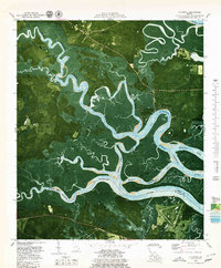
Other maps of this area

1920 · Sapelo River
USGS Topo · 1:62,500

1920 · Limerick
USGS Topo · 1:62,500

1928 · St Catherines Island
USGS Topo · 1:62,500

1943 · St Catherines Island
USGS Topo · 1:62,500

1943 · Sapelo River
USGS Topo · 1:62,500

1944 · Limerick
USGS Topo · 1:62,500

1944 · Ossabaw Island
USGS Topo · 1:62,500

1945 · St. Catherine's Island
USGS Topo · 1:62,500

1945 · Ossabaw Island
USGS Topo · 1:62,500

1945 · Sapelo River
USGS Topo · 1:62,500