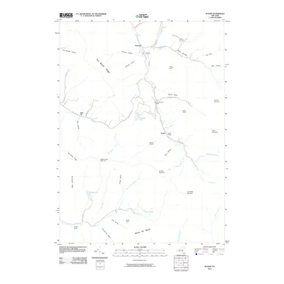
2010 Map of Seager
USGS Topo · Published 2010About this map
The Forge Covered Bridge spans Dry Brook in this 2010 depiction of the high Catskills, where narrow valleys and steep ridges dictate the pattern of settlement. Remote hamlets like Seager, Mapledale, and Belle Ayr are tucked into the hollows, connected by winding mountain routes such as Todd Mountain Rd and Rider Hollow Rd. This landscape is defined by the sharp verticality of Dry Brook Ridge and the Beaver Kill Range, which shelter numerous secluded water bodies including Furlough Lake, Tunis Pond, and Balsam Lake.
Find a feature on this map
59 named features on this map. Tap any name to fly to it.
Don’t see what you’re looking for? This feature index may not catch every label — zoom into the map to look around manually.
Map Details
Editions of this 2010 Seager Map
This is the sole edition of this map. No revisions or reprints were ever made.
Other maps of this area

1900 · Phoenicia
USGS Topo · 1:62,500

1901 · Margaretville
USGS Topo · 1:62,500

1903 · Phoenicia
USGS Topo · 1:62,500

1903 · Slide Mountain
USGS Topo · 1:62,500

1904 · Margaretville
USGS Topo · 1:62,500

1905 · Slide Mountain
USGS Topo · 1:62,500

1910 · Neversink
USGS Topo · 1:62,500

1942 · Neversink
USGS Topo · 1:62,500

1943 · Peekamoose Mountain
USGS Topo · 1:31,680

1943 · Monticello
USGS Topo · 1:125,000