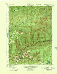
1943 Map of Peekamoose Mountain
USGS Topo · Published 1943About this map
Slide Mt and the surrounding high peaks of the southern Catskills dominate this mid-century topographic study, which highlights a landscape of steep elevation and remote river valleys. The Neversink River and its various branches, including the West Branch Neversink River, carve through the terrain, providing the primary corridors for small mountain settlements like Denning and Sundown. These communities are shown at a time when local education was still decentralized, as evidenced by several one-room schoolhouses like Denning School and Red Hill School scattered across the valley floors.
Find a feature on this map
68 named features on this map. Tap any name to fly to it.
Don’t see what you’re looking for? This feature index may not catch every label — zoom into the map to look around manually.
Map Details
Editions of this 1943 Peekamoose Mountain Map
3 editions found
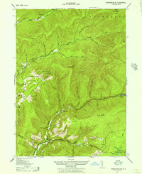

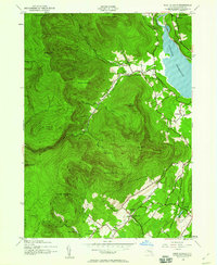
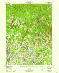
Other maps of this area

1900 · Phoenicia
USGS Topo · 1:62,500

1901 · Margaretville
USGS Topo · 1:62,500

1903 · Phoenicia
USGS Topo · 1:62,500

1903 · Slide Mountain
USGS Topo · 1:62,500

1904 · Margaretville
USGS Topo · 1:62,500

1905 · Slide Mountain
USGS Topo · 1:62,500

1910 · Neversink
USGS Topo · 1:62,500
1942 · West Shokan
USGS Topo · 1:24,000
1942 · Neversink
USGS Topo · 1:62,500

1942 · Lackawack
USGS Topo · 1:24,000