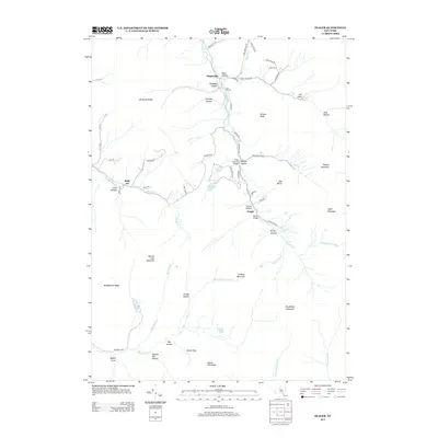
2013 Map of Seager
USGS Topo · Published 2013About this map
The Dry Brook valley defines the central geography of this Catskill region, where the small settlement of Seager sits near the confluence of several mountain streams. The landscape is marked by deep topographic depressions and high ridges, including Hirams Knob and Doubletop Mountain. In the northern part of the valley, the Forge Covered Bridge and Tappan Bridge span the waterways, reflecting the rural infrastructure maintained into the 21st century. High-elevation water bodies like Balsam Lake and the uniquely named Gulf of Mexico Brook highlight the complex drainage patterns of the Beaver Kill Range. Evidence of early settlement and family legacy remains visible through sites like Lake Hill Cem, Baker Cem, and various hollows named for local inhabitants, such as Rider Hollow and Tompkins Hollow. This survey captures a pocket of New York where the road network, including Rider Hollow Rd and Dry Brook Rd, remains tightly constrained by the surrounding peaks.
Find a feature on this map
69 named features on this map. Tap any name to fly to it.
Don’t see what you’re looking for? This feature index may not catch every label — zoom into the map to look around manually.
Map Details
Editions of this 2013 Seager Map
This is the sole edition of this map. No revisions or reprints were ever made.
Other maps of this area

1900 · Phoenicia
USGS Topo · 1:62,500

1901 · Margaretville
USGS Topo · 1:62,500

1903 · Phoenicia
USGS Topo · 1:62,500

1903 · Slide Mountain
USGS Topo · 1:62,500

1904 · Margaretville
USGS Topo · 1:62,500

1905 · Slide Mountain
USGS Topo · 1:62,500

1910 · Neversink
USGS Topo · 1:62,500

1942 · Neversink
USGS Topo · 1:62,500

1943 · Peekamoose Mountain
USGS Topo · 1:31,680

1943 · Monticello
USGS Topo · 1:125,000