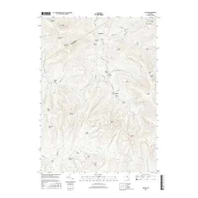
2016 Map of Seager
USGS Topo · Published 2016About this map
Seager and Mapledale anchor this Catskill region terrain where the high elevations of the Beaver Kill Range meet the complex drainage basins of the Beaver Kill and Dry Brook. The map reveals a landscape defined by steep ridges and narrow hollows, such as Negro Hollow and Chimney Hollow, reflecting a settlement pattern strictly dictated by the local geography. Distinctive crossings like the Forge Covered Bridge and Tappan Bridge highlight the historical importance of maintaining transportation routes across the numerous brooks that bisect the valleys.
Find a feature on this map
68 named features on this map. Tap any name to fly to it.
Don’t see what you’re looking for? This feature index may not catch every label — zoom into the map to look around manually.
Map Details
Editions of this 2016 Seager Map
This is the sole edition of this map. No revisions or reprints were ever made.
Other maps of this area

1900 · Phoenicia
USGS Topo · 1:62,500

1901 · Margaretville
USGS Topo · 1:62,500

1903 · Phoenicia
USGS Topo · 1:62,500

1903 · Slide Mountain
USGS Topo · 1:62,500

1904 · Margaretville
USGS Topo · 1:62,500

1905 · Slide Mountain
USGS Topo · 1:62,500

1910 · Neversink
USGS Topo · 1:62,500

1942 · Neversink
USGS Topo · 1:62,500

1943 · Peekamoose Mountain
USGS Topo · 1:31,680

1943 · Monticello
USGS Topo · 1:125,000