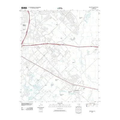
2010 Map of Seagoville
USGS Topo · Published 2010About this map
Seagoville and its surrounding communities in southeast Dallas County are captured here during a period of sustained suburban expansion. The landscape is defined by the convergence of major drainage systems, specifically where South Mesquite Creek and North Mesquite Creek meet the winding East Fork Trinity River. This interface of water and land is managed by a series of modern infrastructure projects, including the Soil Conservation Service Site 6 Dam and several others that regulate local reservoirs.
Find a feature on this map
66 named features on this map. Tap any name to fly to it.
Don’t see what you’re looking for? This feature index may not catch every label — zoom into the map to look around manually.
Map Details
Editions of this 2010 Seagoville Map
This is the sole edition of this map. No revisions or reprints were ever made.
Other maps of this area

1891 · Dallas
USGS Topo · 1:125,000

1893 · Dallas
USGS Topo · 1:125,000

1919 · Royse City
USGS Topo · 1:62,500

1954 · Dallas
USGS Topo · 1:250,000

1956 · Kaufman
USGS Topo · 1:62,500

1957 · White Rock Lake
USGS Topo · 1:24,000

1958 · Dallas
USGS Topo · 1:250,000

1958 · Hutchins
USGS Topo · 1:24,000

1958 · White Rock Lake
USGS Topo · 1:24,000

1959 · Mesquite
USGS Topo · 1:24,000