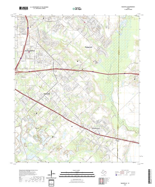
2022 Map of Seagoville
USGS Topo · Published 2022About this map
Seagoville and the southeastern reaches of Dallas are defined by the low-lying basin of the East Fork Trinity River. The landscape here reflects a transition from the dense residential grids of Balch Springs and Mesquite into the expansive floodplains and alluvial features of Bois D'Arc Island. This area preserves several smaller, early burial grounds such as Lee Cem and the Newton Family Cem, which stand alongside modern developments and the extensive Roselawn Memorial Gardens.
Find a feature on this map
67 named features on this map. Tap any name to fly to it.
Don’t see what you’re looking for? This feature index may not catch every label — zoom into the map to look around manually.
Map Details
Editions of this 2022 Seagoville Map
This is the sole edition of this map. No revisions or reprints were ever made.
Other maps of this area

1891 · Dallas
USGS Topo · 1:125,000

1893 · Dallas
USGS Topo · 1:125,000

1919 · Royse City
USGS Topo · 1:62,500

1954 · Dallas
USGS Topo · 1:250,000

1956 · Kaufman
USGS Topo · 1:62,500

1957 · White Rock Lake
USGS Topo · 1:24,000

1958 · Dallas
USGS Topo · 1:250,000

1958 · Hutchins
USGS Topo · 1:24,000

1958 · White Rock Lake
USGS Topo · 1:24,000

1959 · Mesquite
USGS Topo · 1:24,000