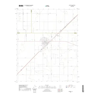
2019 Map of Seagraves
USGS Topo · Published 2019About this map
The town of Seagraves serves as the focal point of this 2019 survey, situated at a major convergence of regional routes in the High Plains. The street grid is densely developed, defined by a series of numbered thoroughfares including 19th St and 15th St, while Railroad Ave and Industrial Ave reflect the town's connection to transport and local trade. North of the town center, the Gaines County Cem and the Seagraves Airport are prominent landmarks. The surrounding landscape is marked by a rigorous section-line road system, including Old Seagraves Rd and Ranch Rd 1780, which cross the boundaries between Yoakum, Terry, and Gaines counties. This survey captures the structured agricultural and civil layout of the Llano Estacado region in the early 21st century.
Find a feature on this map
59 named features on this map. Tap any name to fly to it.
Don’t see what you’re looking for? This feature index may not catch every label — zoom into the map to look around manually.
Map Details
Editions of this 2019 Seagraves Map
This is the sole edition of this map. No revisions or reprints were ever made.
Other maps of this area

1954 · Hobbs
USGS Topo · 1:250,000

1954 · Brownfield
USGS Topo · 1:250,000

1958 · Brownfield
USGS Topo · 1:250,000

1958 · Hobbs
USGS Topo · 1:250,000

1962 · Brownfield
USGS Topo · 1:250,000

1969 · Loop
USGS Topo · 1:24,000

1969 · Wellman
USGS Topo · 1:24,000

1970 · Seagraves SW
USGS Topo · 1:24,000

1970 · Seagraves SE
USGS Topo · 1:24,000

1970 · Seagraves
USGS Topo · 1:24,000