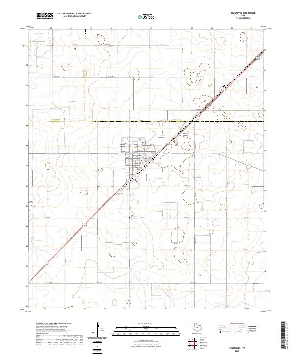
2022 Map of Seagraves
USGS Topo · Published 2022About this map
The town of Seagraves serves as a critical junction in the West Texas plains, where the convergence of the Yoakum, Terry, and Gaines county lines marks a significant regional boundary. The landscape is defined by a rigid grid of rural roads such as Co Rd 680 and Cr 109, supporting a vast agricultural and ranching economy. Local history is anchored by the Gaines County Cem and the Joe H Webb Cem, while the town's orientation along Railroad Ave and Industrial Ave reflects its development around transport and trade. The presence of the Seagraves Airport and a network of arterial routes like FM 1939 highlights the area's continued role as a logistics hub for the surrounding countryside.
Find a feature on this map
63 named features on this map. Tap any name to fly to it.
Don’t see what you’re looking for? This feature index may not catch every label — zoom into the map to look around manually.
Map Details
Editions of this 2022 Seagraves Map
This is the sole edition of this map. No revisions or reprints were ever made.
Other maps of this area

1954 · Hobbs
USGS Topo · 1:250,000

1954 · Brownfield
USGS Topo · 1:250,000

1958 · Brownfield
USGS Topo · 1:250,000

1958 · Hobbs
USGS Topo · 1:250,000

1962 · Brownfield
USGS Topo · 1:250,000

1969 · Loop
USGS Topo · 1:24,000

1969 · Wellman
USGS Topo · 1:24,000

1970 · Seagraves SW
USGS Topo · 1:24,000

1970 · Seagraves SE
USGS Topo · 1:24,000

1970 · Seagraves
USGS Topo · 1:24,000