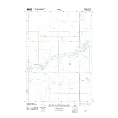
2011 Map of Sears
USGS Topo · Published 2011About this map
Sears and its surrounding countryside in Orient Township are defined by the winding course of the Muskegon River, which snakes across the central landscape. The settlement serves as a quiet local hub, anchored by the Sears Post Office and a network of county roads like 6 Mile Rd and Sylvan Rd. The area’s genealogical record is well-preserved through several established burial grounds, including the Sylvan Cemetery, Osceola County Cemetery, Forest Hill Cemetery, and Orient Cemetery.
Find a feature on this map
41 named features on this map. Tap any name to fly to it.
Don’t see what you’re looking for? This feature index may not catch every label — zoom into the map to look around manually.
Map Details
Editions of this 2011 Sears Map
This is the sole edition of this map. No revisions or reprints were ever made.
Other maps of this area

1954 · Traverse City
USGS Topo · 1:250,000

1954 · Midland
USGS Topo · 1:250,000

1957 · Cadillac South
USGS Topo · 1:62,500

1957 · Marion
USGS Topo · 1:62,500

1958 · Traverse City
USGS Topo · 1:250,000

1958 · Midland
USGS Topo · 1:250,000

1959 · Midland
USGS Topo · 1:250,000

1959 · Lake
USGS Topo · 1:62,500

1959 · Evart
USGS Topo · 1:62,500

1966 · Midland
USGS Topo · 1:250,000