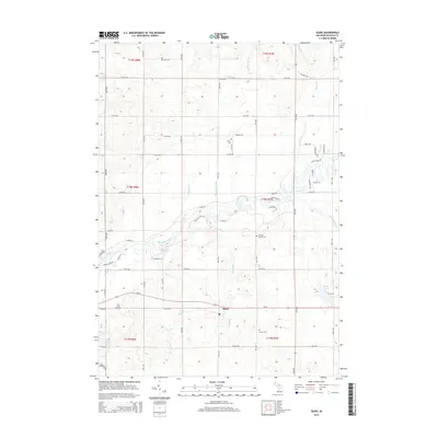
2014 Map of Sears
USGS Topo · Published 2014About this map
The Muskegon River meanders across this central Michigan landscape, defining the local geography through features like The Bayou and the nearby Shores Pond. The unincorporated community of Sears sits along the Us-10 corridor, serving as a primary point of reference for the surrounding rural townships. This 2014 survey documents a network of watercourses including Whetstone Cr, Sandy Run, and the uniquely named Doc and Tom Cr that drain the undulating terrain.
Find a feature on this map
53 named features on this map. Tap any name to fly to it.
Don’t see what you’re looking for? This feature index may not catch every label — zoom into the map to look around manually.
Map Details
Editions of this 2014 Sears Map
This is the sole edition of this map. No revisions or reprints were ever made.
Other maps of this area

1954 · Traverse City
USGS Topo · 1:250,000

1954 · Midland
USGS Topo · 1:250,000

1957 · Cadillac South
USGS Topo · 1:62,500

1957 · Marion
USGS Topo · 1:62,500

1958 · Traverse City
USGS Topo · 1:250,000

1958 · Midland
USGS Topo · 1:250,000

1959 · Midland
USGS Topo · 1:250,000

1959 · Lake
USGS Topo · 1:62,500

1959 · Evart
USGS Topo · 1:62,500

1966 · Midland
USGS Topo · 1:250,000