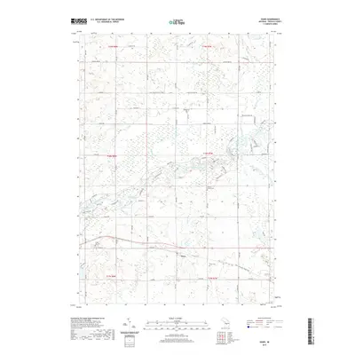
2019 Map of Sears
USGS Topo · Published 2019About this map
The Muskegon River meanders through the central portion of this Osceola County landscape, defining the character of the riverine environment near the settlement of Sears. This 2019 survey documents a rural Michigan community deeply rooted in its local geography, where water features like The Bayou, Grindstone Cr, and Doc and Tom Cr segment the terrain. Genealogists and local historians will find several established burial grounds preserved here, including Hill Cem near Forest Hill, Orient Cem, and the Osceola County Cem. The map illustrates a transition from the structured grid of section lines, such as 11 Mile Rd and 80th Ave, to the winding recreational and residential paths along the riverbanks, including Timberlane Dr and Whispering Trl. Small water bodies like Shores Pond and seasonal flows like Sandy Run further define the drainage patterns of Orient and Sylvan Townships.
Find a feature on this map
74 named features on this map. Tap any name to fly to it.
Don’t see what you’re looking for? This feature index may not catch every label — zoom into the map to look around manually.
Map Details
Editions of this 2019 Sears Map
This is the sole edition of this map. No revisions or reprints were ever made.
Other maps of this area

1954 · Traverse City
USGS Topo · 1:250,000

1954 · Midland
USGS Topo · 1:250,000

1957 · Cadillac South
USGS Topo · 1:62,500

1957 · Marion
USGS Topo · 1:62,500

1958 · Traverse City
USGS Topo · 1:250,000

1958 · Midland
USGS Topo · 1:250,000

1959 · Midland
USGS Topo · 1:250,000

1959 · Lake
USGS Topo · 1:62,500

1959 · Evart
USGS Topo · 1:62,500

1966 · Midland
USGS Topo · 1:250,000