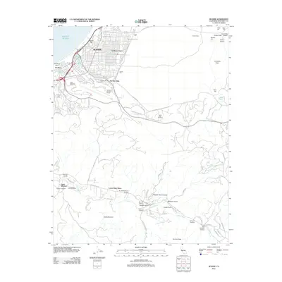
2012 Map of Seaside
USGS Topo · Published 2012About this map
The coastal urban centers of Seaside and Sand City anchor the northwestern corner of this map, where the Pacific shoreline meets a landscape of dense residential grids and extensive recreational facilities. Established developments like Del Monte Heights and Del Rey Oaks transition into the massive footprint of the Monterey Peninsula Airport, while several golf courses, including the United States Navy Golf Course, underscore the area's mid-century leisure and military heritage. To the east, the terrain rises into named heights like Merrills Hill and the prominent Impossible Ridge.
Find a feature on this map
90 named features on this map. Tap any name to fly to it.
Don’t see what you’re looking for? This feature index may not catch every label — zoom into the map to look around manually.
Map Details
Editions of this 2012 Seaside Map
This is the sole edition of this map. No revisions or reprints were ever made.
Other maps of this area

1910 · Salinas
USGS Topo · 1:31,680

1912 · Salinas
USGS Topo · 1:62,500

1913 · Monterey
USGS Topo · 1:62,500

1918 · Point Sur
USGS Topo · 1:62,500

1920 · Jamesburg
USGS Topo · 1:48,000

1921 · Jamesburg
USGS Topo · 1:62,500

1925 · Point Sur
USGS Topo · 1:62,500

1939 · Jamesburg
USGS Topo · 1:62,500

1940 · Salinas
USGS Topo · 1:62,500

1940 · Jamesburg
USGS Topo · 1:62,500