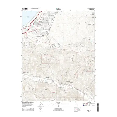
2015 Map of Seaside
USGS Topo · Published 2015About this map
Seaside and the eastern reaches of Monterey anchor this coastal landscape, where urban development meets the steep drainages of the Santa Lucia foothills. The coastal shelf is defined by Del Monte Beach and the Pacific Ocean, with the residential grids of Del Rey Oaks and Del Monte transitioning quickly into complex terrain. The northern half of the map is notable for its transportation and memorial infrastructure, including the Monterey Regional Airport and the sprawling grounds of Mission Memorial Park.
Find a feature on this map
111 named features on this map. Tap any name to fly to it.
Don’t see what you’re looking for? This feature index may not catch every label — zoom into the map to look around manually.
Map Details
Editions of this 2015 Seaside Map
This is the sole edition of this map. No revisions or reprints were ever made.
Other maps of this area

1910 · Salinas
USGS Topo · 1:31,680

1912 · Salinas
USGS Topo · 1:62,500

1913 · Monterey
USGS Topo · 1:62,500

1918 · Point Sur
USGS Topo · 1:62,500

1920 · Jamesburg
USGS Topo · 1:48,000

1921 · Jamesburg
USGS Topo · 1:62,500

1925 · Point Sur
USGS Topo · 1:62,500

1939 · Jamesburg
USGS Topo · 1:62,500

1940 · Salinas
USGS Topo · 1:62,500

1940 · Jamesburg
USGS Topo · 1:62,500