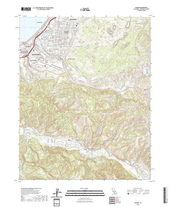
2021 Map of Seaside
USGS Topo · Published 2021About this map
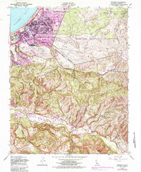
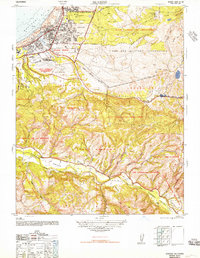
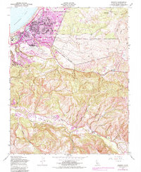
Seaside and Monterey anchor this coastal landscape, showing the dense residential grids of Del Monte Heights and Sand City bordering the southern edge of Monterey Bay. The terrain rises sharply from the shoreline into the ridges and canyons that define the Santa Lucia foothills, including Wolf Hill and Impossible Ridge. In the northern interior, the Laguna Seca International Raceway occupies the dry basins near Laguna Seca, while the Monterey Regional Airport sits between the urban centers and the canyons of Canyon Del Rey. To the south, the landscape transitions into the equestrian and agricultural environment of Carmel Valley, where the Carmel River winds through a valley floor flanked by Potrero Canyon and the high peaks of Saddle Mtn. This record captures the complex boundary between dense suburban development and the rugged, undeveloped interior ridges.
Find a feature on this map
64 named features on this map. Tap any name to fly to it.
Don’t see what you’re looking for? This feature index may not catch every label — zoom into the map to look around manually.
Map Details
Editions of this 2021 Seaside Map
This is the sole edition of this map. No revisions or reprints were ever made.
Historical Maps of Quail Meadows Through Time
4 maps found