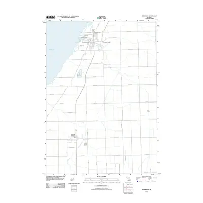
2011 Map of Sebewaing
USGS Topo · Published 2011About this map
The agricultural and industrial character of Michigan's Thumb region is evident in this 2011 survey of the Sebewaing and Unionville corridor. The landscape is defined by the Sebewaing River and a sophisticated network of water management features, including the Wiscoggin Drain and East Branch Wiscoggin Drain, which facilitate the productivity of the surrounding farmland. The industrial footprint of the region is centered on the Michigan Sugar Company and the Michigan Producers Dairy Company, reflecting the area's long-standing connection to beet sugar production and dairy processing.
Find a feature on this map
64 named features on this map. Tap any name to fly to it.
Don’t see what you’re looking for? This feature index may not catch every label — zoom into the map to look around manually.
Map Details
Editions of this 2011 Sebewaing Map
This is the sole edition of this map. No revisions or reprints were ever made.
Other maps of this area

1954 · Flint
USGS Topo · 1:250,000

1958 · Flint
USGS Topo · 1:250,000

1963 · Fish Point
USGS Topo · 1:24,000

1963 · Fairgrove
USGS Topo · 1:24,000

1963 · Ellington
USGS Topo · 1:24,000

1963 · Owendale
USGS Topo · 1:24,000

1963 · Colling
USGS Topo · 1:24,000

1963 · Sebewaing
USGS Topo · 1:24,000

1970 · Bay Port West
USGS Topo · 1:24,000

1970 · Bay Port East
USGS Topo · 1:24,000