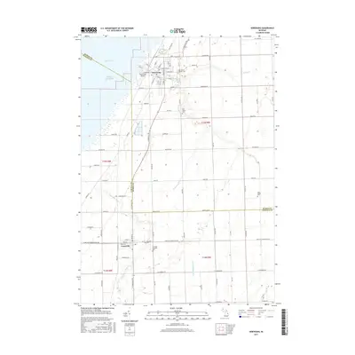
2017 Map of Sebewaing
USGS Topo · Published 2017About this map
Sebewaing and Unionville anchor this coastal segment of the Michigan thumb where the land meets Saginaw Bay on Lake Huron. The landscape is defined by an extensive network of managed waterways, including the Sebewaing River, Swamp Cr., and the Wiscoggin Drain, reflecting the region's long-standing focus on agricultural drainage and water management. Transportation is centered on the Sebewaing Airport and a grid of rural roads such as W Bay City-Forestville Rd and Huron Line Rd, which marks the boundary between Huron and Tuscola counties.
Find a feature on this map
58 named features on this map. Tap any name to fly to it.
Don’t see what you’re looking for? This feature index may not catch every label — zoom into the map to look around manually.
Map Details
Editions of this 2017 Sebewaing Map
This is the sole edition of this map. No revisions or reprints were ever made.
Other maps of this area

1954 · Flint
USGS Topo · 1:250,000

1958 · Flint
USGS Topo · 1:250,000

1963 · Fish Point
USGS Topo · 1:24,000

1963 · Fairgrove
USGS Topo · 1:24,000

1963 · Ellington
USGS Topo · 1:24,000

1963 · Owendale
USGS Topo · 1:24,000

1963 · Colling
USGS Topo · 1:24,000

1963 · Sebewaing
USGS Topo · 1:24,000

1970 · Bay Port West
USGS Topo · 1:24,000

1970 · Bay Port East
USGS Topo · 1:24,000