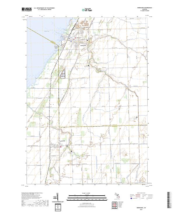
2023 Map of Sebewaing
USGS Topo · Published 2023About this map
Sebewaing and Unionville anchor this coastal landscape where the thumb of Michigan meets the shallow waters of Saginaw Bay. The terrain is defined by a dense network of managed watercourses, including the Sebewaing River, Swamp Creek, and the Wiscoggin Drain, reflecting the area's deep history of land reclamation for agriculture. The grid of country roads, such as Sebewaing Rd and Beck Rd, connects numerous rural burial sites that serve as vital touchstones for family historians.
Find a feature on this map
88 named features on this map. Tap any name to fly to it.
Don’t see what you’re looking for? This feature index may not catch every label — zoom into the map to look around manually.
Map Details
Editions of this 2023 Sebewaing Map
This is the sole edition of this map. No revisions or reprints were ever made.
Other maps of this area

1954 · Flint
USGS Topo · 1:250,000

1958 · Flint
USGS Topo · 1:250,000

1963 · Fish Point
USGS Topo · 1:24,000

1963 · Fairgrove
USGS Topo · 1:24,000

1963 · Ellington
USGS Topo · 1:24,000

1963 · Owendale
USGS Topo · 1:24,000

1963 · Colling
USGS Topo · 1:24,000

1963 · Sebewaing
USGS Topo · 1:24,000

1970 · Bay Port West
USGS Topo · 1:24,000

1970 · Bay Port East
USGS Topo · 1:24,000