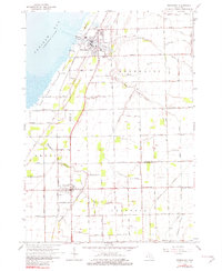
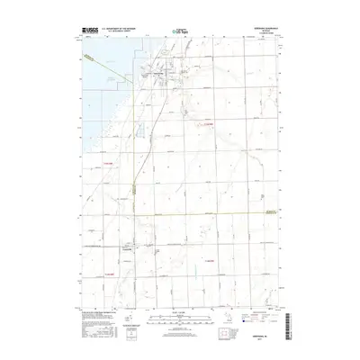
1963 Map of Sebewaing
USGS Topo · Published 1982About this map
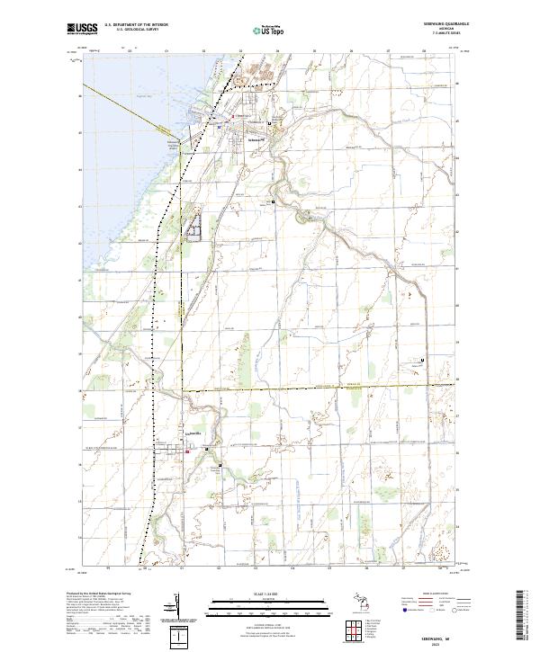
The coastal marshlands of Fish Point Wildlife Area and the waters of Saginaw Bay dominate the western edge of this 1960s landscape. Inland, the town of Sebewaing serves as a hub of activity where the Sebewaing River meets the bay and the Chesapeake and Ohio railroad tracks. The map captures the agricultural transition of the era, defined by an extensive network of drainage systems like the Werschky Drain and Gremel Drain that managed the low-lying terrain for farming. Further south, the settlement of Unionville is established at a critical junction of roads and rail, while the smaller community of Bach sits at the eastern edge. Local genealogy is supported by the location of family-named landmarks and historical sites such as New Salem Cem, St Peters Cem, and the Abke Sch, illustrating the dispersed rural social structure of the mid-century.
Find a feature on this map
63 named features on this map. Tap any name to fly to it.
Don’t see what you’re looking for? This feature index may not catch every label — zoom into the map to look around manually.
Map Details
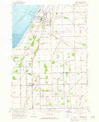
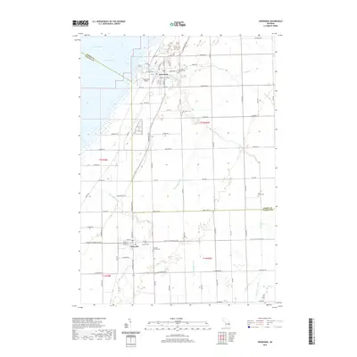
Editions of this 1963 Sebewaing Map
2 editions found
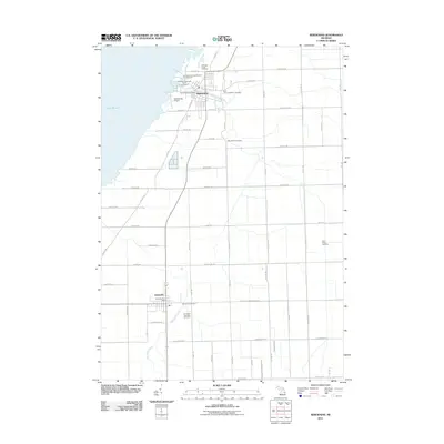
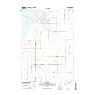
Historical Maps of Sebewaing Through Time
6 maps found
Featured Locations
- Sebewaing Township, MI
- Columbia Township, MI
- Akron Township, MI
- Sebewaing, Sebewaing Township
- Unionville, Columbia Township