
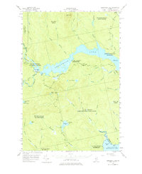
1954 Map of Seboomook Lake
USGS Topo · Published 1955About this map
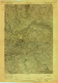
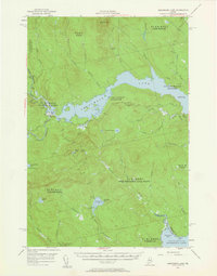
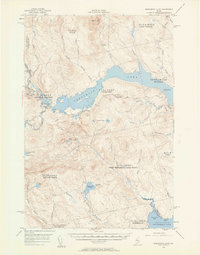
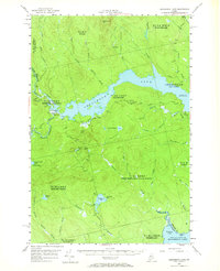
Pittston Farm stands as a focal point of human activity at the confluence of the North Branch and South Branch of the Penobscot River. This mid-century survey of the Maine North Woods illustrates a landscape defined by industrial and recreational water management, centered on the sprawling Seboomook Lake. The map details a complex network of timberlands divided into historical townships such as Pittston Academy, Soldier Town, and the West Middlesex Canal Grant. These boundaries, along with private logging roads and portages like the North Branch Carry Bk, trace the commercial heritage of the Somerset County wilderness. Elevation markers and terrain features like Seven Mile Hill and Seboomook Mtn provide a clear view of the topography before modern developments altered the character of the remote interior.
Find a feature on this map
42 named features on this map. Tap any name to fly to it.
Don’t see what you’re looking for? This feature index may not catch every label — zoom into the map to look around manually.
Map Details
Editions of this 1954 Seboomook Lake Map
6 editions found
Other maps of this area

1920 · Moosehead Lake
USGS Topo · 1:62,500

1921 · Brassua Lake
USGS Topo · 1:62,500

1922 · Moosehead Lake
USGS Topo · 1:62,500

1922 · Long Pond
USGS Topo · 1:62,500

1923 · Brassua Lake
USGS Topo · 1:62,500

1924 · Long Pond
USGS Topo · 1:62,500

1930 · Moosehead Lake
USGS Topo · 1:62,500

1944 · Brassua Lake
USGS Topo · 1:62,500

1944 · Moosehead Lake
USGS Topo · 1:62,500

1944 · Long Pond
USGS Topo · 1:62,500
Featured Places
- Tomhegan Township, ME
- Elm Stream Township, ME
- West Middlesex Canal Grant Township, ME
- Seboomook Township, ME
- Comstock Township, ME