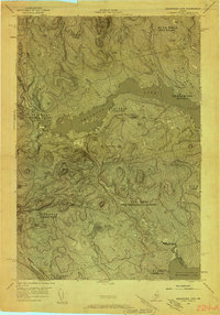
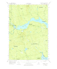
1954 Map of Seboomook Lake
USGS Topo · Published 1958About this map
The timberlands of Somerset County and Piscataquis County are defined here by the confluence of the South Branch Penobscot River and the expanding waters of Seboomook Lake. Centered on the remote outpost of Pittston Farm, this mid-century survey illustrates a landscape of working forests and critical water storage. The topography is dominated by the sprawling reservoir of Canada Falls Lake and the natural heights of Seboomook Mtn. Numerous watercourses, including Socatean Stream and Tomhegan Stream, drain the surrounding townships toward Moosehead Lake at the southeastern corner. This survey documents the transition between the North Woods' historic academy and grant lands, such as Pittston Academy and the West Middlesex Canal Grant, before the evolution of modern logging road networks.
Find a feature on this map
31 named features on this map. Tap any name to fly to it.
Don’t see what you’re looking for? This feature index may not catch every label — zoom into the map to look around manually.
Map Details
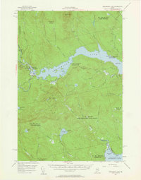
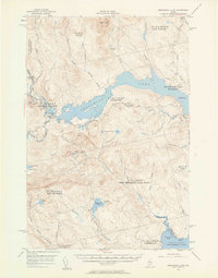
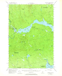
Editions of this 1954 Seboomook Lake Map
6 editions found

Other maps of this area

1920 · Moosehead Lake
USGS Topo · 1:62,500

1921 · Brassua Lake
USGS Topo · 1:62,500

1922 · Moosehead Lake
USGS Topo · 1:62,500

1922 · Long Pond
USGS Topo · 1:62,500

1923 · Brassua Lake
USGS Topo · 1:62,500

1924 · Long Pond
USGS Topo · 1:62,500

1930 · Moosehead Lake
USGS Topo · 1:62,500

1944 · Brassua Lake
USGS Topo · 1:62,500

1944 · Moosehead Lake
USGS Topo · 1:62,500

1944 · Long Pond
USGS Topo · 1:62,500
Featured Places
- Tomhegan Township, ME
- Elm Stream Township, ME
- West Middlesex Canal Grant Township, ME
- Seboomook Township, ME
- Comstock Township, ME