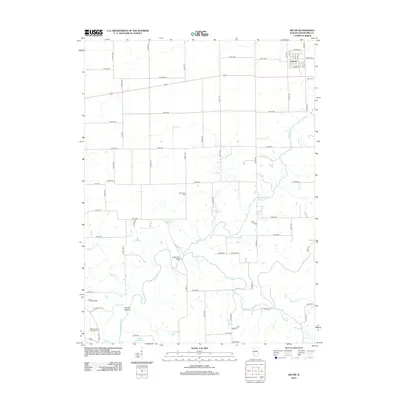
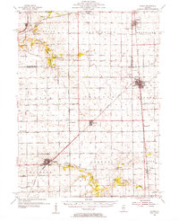
2012 Map of Secor
USGS Topo · Published 2012About this map
Secor sits at the intersection of rural Woodford County life and the meandering waterways that define this Illinois landscape. The village street grid, including Secor St and Jones St, serves as a hub for the surrounding agricultural tracts. To the south and west, the terrain becomes increasingly complex where the Mackinaw River and Panther Cr converge, creating a network of riparian corridors.
Find a feature on this map
63 named features on this map. Tap any name to fly to it.
Don’t see what you’re looking for? This feature index may not catch every label — zoom into the map to look around manually.
Map Details
Editions of this 2012 Secor Map
This is the sole edition of this map. No revisions or reprints were ever made.
Other maps of this area
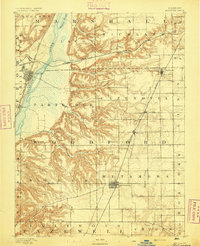
1893 · Metamora
USGS Topo · 1:62,500
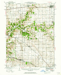
1927 · Danvers
USGS Topo · 1:62,500
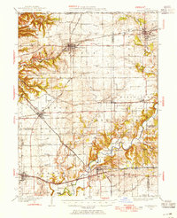
1928 · Mackinaw
USGS Topo · 1:62,500
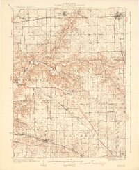
1930 · Danvers
USGS Topo · 1:62,500
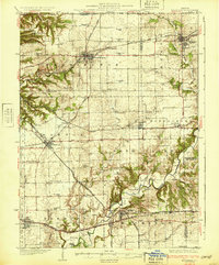
1932 · Mackinaw
USGS Topo · 1:62,500
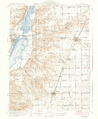
1937 · Metamora
USGS Topo · 1:62,500
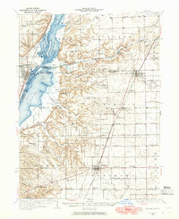
1948 · Metamora
USGS Topo · 1:62,500
1955 · Minonk
USGS Topo · 1:62,500

1958 · Peoria
USGS Topo · 1:250,000

1961 · Peoria
USGS Topo · 1:250,000