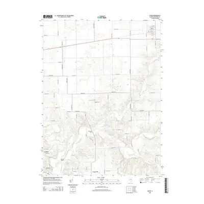
2015 Map of Secor
USGS Topo · Published 2015About this map
The Mackinaw River winds through the southern Woodford County landscape, creating a corridor of complex terrain that contrasts with the surrounding agricultural grid. The village of Secor serves as a primary anchor in the northeast, while Goodfield and Congerville sit along the southern edge, connected by the local road network and proximity to White Oak Lake. This survey illustrates a rural Illinois community defined by its waterways, including Panther Creek and the Red River, which influence the local topography near Nichols Mound.
Find a feature on this map
65 named features on this map. Tap any name to fly to it.
Don’t see what you’re looking for? This feature index may not catch every label — zoom into the map to look around manually.
Map Details
Editions of this 2015 Secor Map
This is the sole edition of this map. No revisions or reprints were ever made.
Other maps of this area

1893 · Metamora
USGS Topo · 1:62,500

1927 · Danvers
USGS Topo · 1:62,500

1928 · Mackinaw
USGS Topo · 1:62,500

1930 · Danvers
USGS Topo · 1:62,500

1932 · Mackinaw
USGS Topo · 1:62,500

1937 · Metamora
USGS Topo · 1:62,500

1948 · Metamora
USGS Topo · 1:62,500

1955 · Minonk
USGS Topo · 1:62,500

1958 · Peoria
USGS Topo · 1:250,000

1961 · Peoria
USGS Topo · 1:250,000