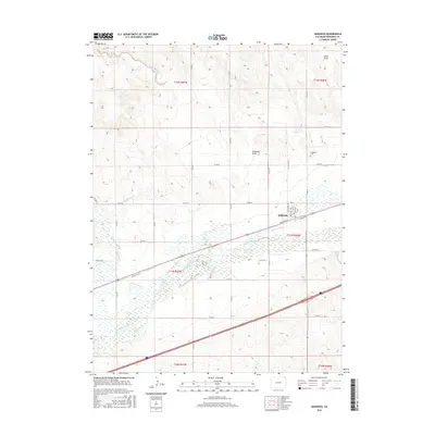
2016 Map of Sedgwick
USGS Topo · Published 2016About this map
The town of Sedgwick serves as the central hub for this northeast Colorado agricultural landscape, situated along the southern bank of the South Platte River. The river corridor is heavily modified by a network of irrigation systems essential to local farming, including the Peterson Ditch, Settlers Ditch, and the Highline Canal. These waterworks parallel the river's path through the valley, supporting the township structure of T11N R46W and R47W. Beyond the river bottom, the terrain rises into high plains dissected by prominent natural drainages like Sedgwick Draw and Sand Draw.
Find a feature on this map
40 named features on this map. Tap any name to fly to it.
Don’t see what you’re looking for? This feature index may not catch every label — zoom into the map to look around manually.
Map Details
Editions of this 2016 Sedgwick Map
This is the sole edition of this map. No revisions or reprints were ever made.
Other maps of this area

1899 · Sidney
USGS Topo · 1:125,000

1900 · Chappell
USGS Topo · 1:125,000

1952 · Julesburg SW
USGS Topo · 1:24,000

1952 · Marks Butte
USGS Topo · 1:24,000

1953 · Ovid
USGS Topo · 1:24,000

1953 · Tamarack Ranch
USGS Topo · 1:24,000

1953 · Julesburg Reservoir
USGS Topo · 1:24,000

1953 · Sedgwick
USGS Topo · 1:24,000

1954 · Sterling
USGS Topo · 1:250,000

1954 · Scottsbluff
USGS Topo · 1:250,000