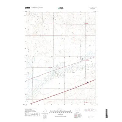
2019 Map of Sedgwick
USGS Topo · Published 2019About this map
The town of Sedgwick sits as a primary hub along the South Platte River, defined by its grid of streets including East Ave, West Ave, and Railroad St. This 2019 survey illustrates a landscape deeply shaped by water management and irrigation, featuring the Highline Canal, Settlers Ditch, and Peterson Ditch which cut across the river valley to support the surrounding agricultural lands. To the north, the terrain rises into the dissected plains where the Sedgwick Draw and Sand Draw drain toward the river basin.
Find a feature on this map
39 named features on this map. Tap any name to fly to it.
Don’t see what you’re looking for? This feature index may not catch every label — zoom into the map to look around manually.
Map Details
Editions of this 2019 Sedgwick Map
This is the sole edition of this map. No revisions or reprints were ever made.
Other maps of this area

1899 · Sidney
USGS Topo · 1:125,000

1900 · Chappell
USGS Topo · 1:125,000

1952 · Julesburg SW
USGS Topo · 1:24,000

1952 · Marks Butte
USGS Topo · 1:24,000

1953 · Ovid
USGS Topo · 1:24,000

1953 · Tamarack Ranch
USGS Topo · 1:24,000

1953 · Julesburg Reservoir
USGS Topo · 1:24,000

1953 · Sedgwick
USGS Topo · 1:24,000

1954 · Sterling
USGS Topo · 1:250,000

1954 · Scottsbluff
USGS Topo · 1:250,000