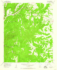
1954 Map of Sedillo
USGS Topo · Published 1960About this map
Cibola National Forest and the Cañon de Carnue Grant define the complex land divisions of this mid-century New Mexico landscape. The area is characterized by a series of significant drainages including Tijeras Canyon, Gutierrez Canyon, and Sedillo Canyon, which dictate the placement of local settlements and travel routes. Small mountain communities such as Cedar Crest, Zamora, and Los Pinos are clustered along these corridors. A unique glimpse into specialized local industry is preserved with the labeling of the Riedmont Fur Farm (Aband), while the higher elevations of the Manzano Mountains rise toward Cedro Peak, marked with a beacon. The map provides a detailed view of the Forest Boundary and early communication infrastructure indicated by a prominent Telephone Line crossing the terrain.
Find a feature on this map
28 named features on this map. Tap any name to fly to it.
Don’t see what you’re looking for? This feature index may not catch every label — zoom into the map to look around manually.
Map Details
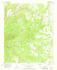
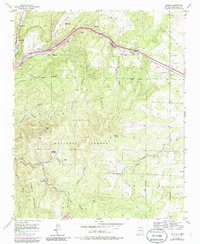
Editions of this 1954 Sedillo Map
4 editions found
Other maps of this area

1892 · San Pedro
USGS Topo · 1:125,000

1917 · Estancia
USGS Topo · 1:125,000

1954 · Sandia Crest
USGS Topo · 1:24,000

1954 · Chilili
USGS Topo · 1:24,000

1954 · Sandia Park
USGS Topo · 1:24,000

1954 · San Pedro
USGS Topo · 1:24,000

1954 · Mount Washington
USGS Topo · 1:24,000
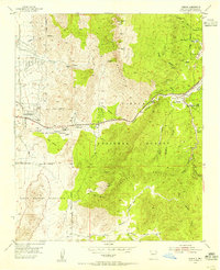
1954 · Tijeras
USGS Topo · 1:24,000

1954 · Sedillo
USGS Topo · 1:24,000

1954 · Escabosa
USGS Topo · 1:24,000