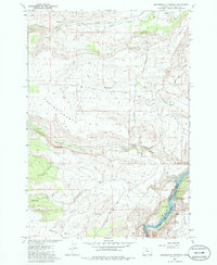
1985 Map of Seekseequa Junction
USGS Topo · Published 1986About this map
Warm Springs Indian Reservation land meets the Crooked River National Grassland in this mid-1980s topographical study. The landscape is defined by its dramatic elevation changes, where high plateaus like Tenino Bench and Metolius Bench overlook the deep canyons of the Deschutes River and Lake Simtustus. Human presence is sparse, concentrated at Seekseequa Junction and a nearby Trailer Park at the northern edge.
Find a feature on this map
31 named features on this map. Tap any name to fly to it.
Don’t see what you’re looking for? This feature index may not catch every label — zoom into the map to look around manually.
Map Details
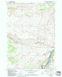
Editions of this 1985 Seekseequa Junction Map
2 editions found
Other maps of this area

1928 · Madras
USGS Topo · 1:125,000

1931 · Madras
USGS Topo · 1:125,000

1955 · Bend
USGS Topo · 1:250,000

1957 · Bend
USGS Topo · 1:250,000

1958 · Bend
USGS Topo · 1:250,000

1962 · Metolius Bench
USGS Topo · 1:24,000

1962 · Fly Creek
USGS Topo · 1:24,000

1962 · Eagle Butte
USGS Topo · 1:24,000
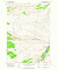
1962 · Seekseequa Junction
USGS Topo · 1:24,000
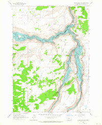
1962 · Round Butte Dam
USGS Topo · 1:24,000