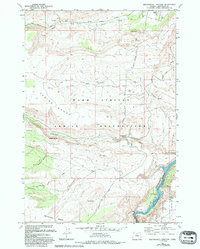
1985 Map of Seekseequa Junction
USGS Topo · Published 1994About this map
Tenino Creek flows through this 1985 survey area, defining the drainage patterns of this high-plateau landscape. The terrain is characterized by broad benches and sharp incisions from seasonal waterflow, with the minor human footprint concentrated in transient locations like the Trailer Park near the northern boundary. Produced in cooperation with the U.S. Forest Service, this map reflects the management and conservation priorities of the mid-1980s, documenting a period when aerial photography and limited field checks were used to verify boundaries and place names in more isolated regions of the state.
Find a feature on this map
2 named features on this map. Tap any name to fly to it.
Don’t see what you’re looking for? This feature index may not catch every label — zoom into the map to look around manually.
Map Details
Editions of this 1985 Seekseequa Junction Map
2 editions found
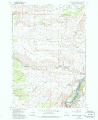
Other maps of this area

1928 · Madras
USGS Topo · 1:125,000

1931 · Madras
USGS Topo · 1:125,000

1955 · Bend
USGS Topo · 1:250,000

1957 · Bend
USGS Topo · 1:250,000

1958 · Bend
USGS Topo · 1:250,000

1962 · Metolius Bench
USGS Topo · 1:24,000

1962 · Fly Creek
USGS Topo · 1:24,000

1962 · Eagle Butte
USGS Topo · 1:24,000
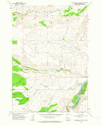
1962 · Seekseequa Junction
USGS Topo · 1:24,000
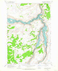
1962 · Round Butte Dam
USGS Topo · 1:24,000