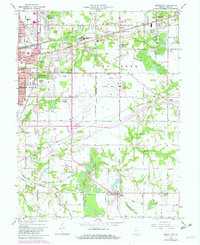
1963 Map of Seelyville
USGS Topo · Published 1981About this map
Seelyville and the eastern edge of Terre Haute define this mid-century landscape, where industrial infrastructure meets growing residential suburbs. The map captures a transition in transportation and land use, featuring the route of the National Road and the extensive grounds of the Rose Polytechnic Institute. To the south, the path of the Wabash and Erie Canal remains visible near the town of Riley, a reminder of earlier 19th-century commerce.
Find a feature on this map
73 named features on this map. Tap any name to fly to it.
Don’t see what you’re looking for? This feature index may not catch every label — zoom into the map to look around manually.
Map Details
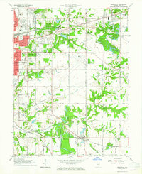
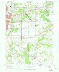
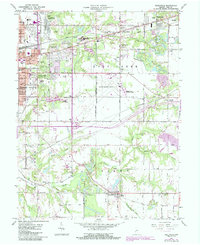
Editions of this 1963 Seelyville Map
4 editions found
Other maps of this area

1908 · Clay City
USGS Topo · 1:48,000

1910 · Clay City
USGS Topo · 1:62,500

1940 · Lewis
USGS Topo · 1:24,000

1940 · Pimento
USGS Topo · 1:24,000

1941 · Seelyville
USGS Topo · 1:24,000

1941 · Terre Haute
USGS Topo · 1:24,000

1948 · Terre Haute
USGS Topo · 1:24,000

1950 · Rosedale
USGS Topo · 1:24,000

1950 · Brazil West
USGS Topo · 1:24,000

1950 · New Goshen
USGS Topo · 1:24,000