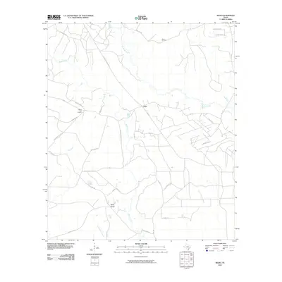
2010 Map of Segno
USGS Topo · Published 2010About this map
Segno and Holly Grove are the central hubs of this Polk County landscape, which is defined by a dense network of forest access roads and natural waterways. The drainage pattern of Big Sandy Creek and Menard Creek cuts through the region, while smaller tributaries like Meetinghouse Branch and Blue Branch cross the southern sections. Significant local markers include the Davis Cemetery in the northeast and the Liberty Hill Lookout, which stands atop a topographic rise to the west.
Find a feature on this map
33 named features on this map. Tap any name to fly to it.
Don’t see what you’re looking for? This feature index may not catch every label — zoom into the map to look around manually.
Map Details
Editions of this 2010 Segno Map
This is the sole edition of this map. No revisions or reprints were ever made.
Other maps of this area

1943 · Liberty
USGS Topo · 1:125,000

1954 · Beaumont
USGS Topo · 1:250,000

1955 · Saratoga
USGS Topo · 1:62,500

1955 · Rayburn
USGS Topo · 1:62,500

1957 · Beaumont
USGS Topo · 1:250,000

1958 · Livingston
USGS Topo · 1:62,500

1958 · Segno
USGS Topo · 1:62,500

1984 · Segno
USGS Topo · 1:24,000

1984 · Soda
USGS Topo · 1:24,000

1984 · Beaumont
USGS Topo · 1:250,000