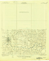
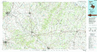
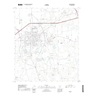
1930 Map of Seguin
USGS Topo · Published 1946About this map
The Guadalupe River carves a deep path through this portion of south-central Texas, shaping the settlement patterns of the late 1920s. Centered on Seguin, the map illustrates a landscape transitioning from river-bottom farming to a structured railroad economy supported by the Southern Pacific line. Numerous small community centers and country stores like Zabriskie Store and Howell Store anchor the rural sections, suggesting a high density of small-scale agriculture and local commerce.
Find a feature on this map
34 named features on this map. Tap any name to fly to it.
Don’t see what you’re looking for? This feature index may not catch every label — zoom into the map to look around manually.
Map Details
Editions of this 1930 Seguin Map
2 editions found
Historical Maps of Seguin Through Time
10 maps found
1930 Seguin
Guadalupe County, TX
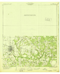
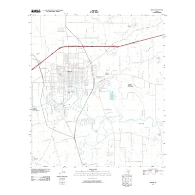
1953 Seguin
Guadalupe County, TX

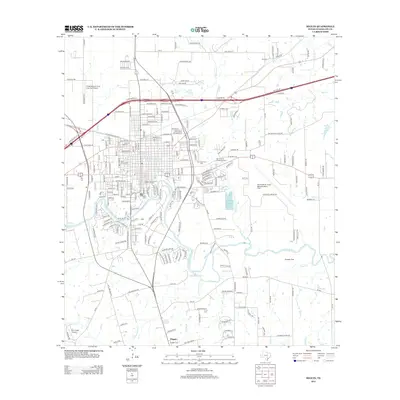
1958 Seguin
Guadalupe County, TX
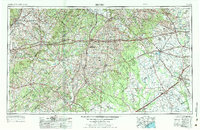
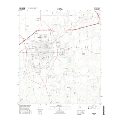
1964 Seguin
Guadalupe County, TX
1985 Seguin
Guadalupe County, TX
2010 Seguin
Guadalupe County, TX
2013 Seguin
Guadalupe County, TX
2016 Seguin
Guadalupe County, TX
2019 Seguin
Guadalupe County, TX
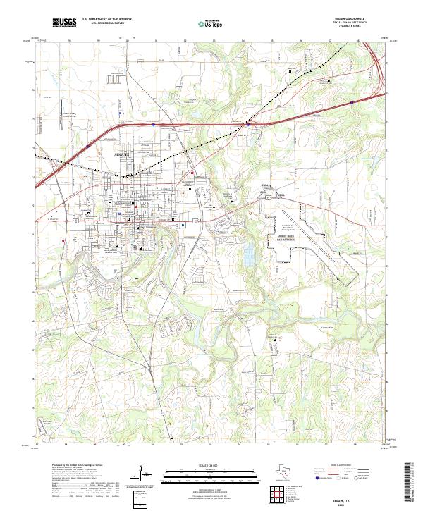
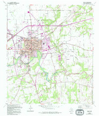
2022 Seguin
Guadalupe County, TX