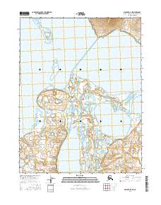
2016 Map of Selawik D-6 NE
USGS Topo · Published 2016About this map
Hotham Inlet dominates the northern landscape of this region, serving as a gateway to a complex network of wetlands and tidal channels. The interior is defined by a dense concentration of water bodies, including the large basins of Nulvororok Lake and Potoniek Lake, which are linked by winding waterways like the Nulvororok Channel. This hydrologic pattern reflects the dynamic nature of the Arctic coastal plain, where the shifting Oqriveq River and various lagoons create a labyrinthine environment. The absence of roads or established settlements emphasizes the reliance on these waterways for movement across the tundra. Small features such as Ekichuk Lake dot the map, providing essential landmarks for navigation in a territory where land and water frequently merge.
Find a feature on this map
11 named features on this map. Tap any name to fly to it.
Don’t see what you’re looking for? This feature index may not catch every label — zoom into the map to look around manually.
Map Details
Editions of this 2016 Selawik D-6 NE Map
This is the sole edition of this map. No revisions or reprints were ever made.
Other maps of this area

1951 · Baird Mountains
USGS Topo · 1:250,000

1951 · Selawik
USGS Topo · 1:250,000

1951 · Selawik D-6
USGS Topo · 1:63,360

1952 · Selawik D-6
USGS Topo · 1:63,360

1955 · Selawik D-5
USGS Topo · 1:63,360
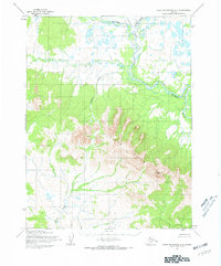
1955 · Baird Mountains A-5
USGS Topo · 1:63,360
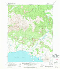
1955 · Baird Mountains A-6
USGS Topo · 1:63,360

1956 · Baird Mountains
USGS Topo · 1:250,000

1957 · Selawik
USGS Topo · 1:250,000

1965 · Baird Mountains
USGS Topo · 1:250,000