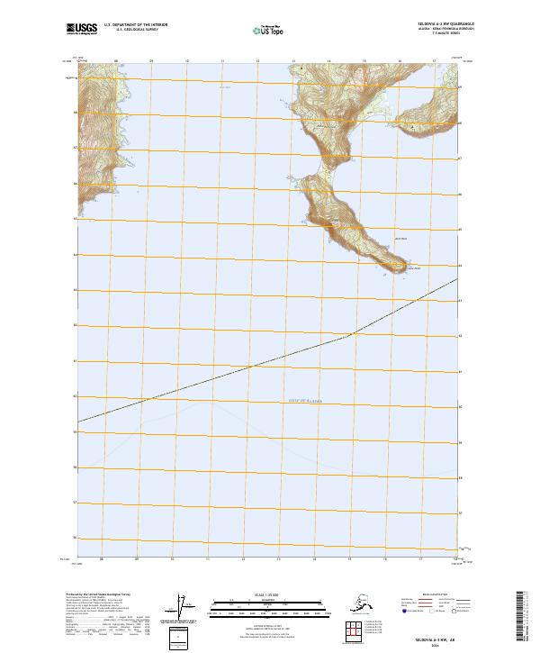
2024 Map of Seldovia A-3 NW
USGS Topo · Published 2024About this map
The Alaska Maritime National Wildlife Refuge dominates the coastal landscape of the Kenai Peninsula, where steep topography meets the open sea. This 2024 map documents a dramatic section of the Alaskan shoreline, defined by the sharp protrusion of Gore Point and the adjacent elevation of Gore Peak. The inclusion of Arch Rock along the coast highlights the erosional forces typical of this maritime environment. Further inland, the waters of Port Dick provide a deep-water indentation against the high relief. The map illustrates the boundary between the terrestrial refuge and the vast expanse of the Gulf of Alaska, reflecting a modern era of conservation and precise digital surveying that tracks the state's most isolated wilderness edges.
Find a feature on this map
10 named features on this map. Tap any name to fly to it.
Don’t see what you’re looking for? This feature index may not catch every label — zoom into the map to look around manually.
Map Details
Editions of this 2024 Seldovia A-3 NW Map
This is the sole edition of this map. No revisions or reprints were ever made.
Other maps of this area

1951 · Seldovia
USGS Topo · 1:250,000

1951 · Seldovia A-3
USGS Topo · 1:63,360

1951 · Seldovia B-4
USGS Topo · 1:63,360

1951 · Seldovia B-3
USGS Topo · 1:63,360

1951 · Seldovia A-4
USGS Topo · 1:63,360

1952 · Seldovia A-3
USGS Topo · 1:63,360

1952 · Seldovia B-3
USGS Topo · 1:63,360

1953 · Seldovia B-4
USGS Topo · 1:63,360
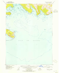
1953 · Seldovia A-4
USGS Topo · 1:63,360

1963 · Seldovia
USGS Topo · 1:250,000