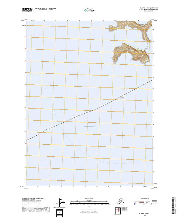
2024 Map of Seldovia B-2 SE
USGS Topo · Published 2024About this map
Alaska Maritime National Wildlife Refuge encompasses the remote archipelago and coastal waters of the Kenai Peninsula, where the maritime landscape meets the open Gulf of Alaska. This 2024 survey documents a series of isolated landforms including Rabbit Island and the larger Outer Island, which rises sharply from the sea with steep, contoured relief. Navigational features like Kitten Pass and the submerged Pye Reef highlight the seafaring nature of this region. The map provides a clear look at the protected status of these islands, which serve as critical habitats within the vast Gulf of Alaska ecosystem, far from the road networks of mainland Alaska.
Find a feature on this map
10 named features on this map. Tap any name to fly to it.
Don’t see what you’re looking for? This feature index may not catch every label — zoom into the map to look around manually.
Map Details
Editions of this 2024 Seldovia B-2 SE Map
This is the sole edition of this map. No revisions or reprints were ever made.
Other maps of this area

1951 · Seldovia
USGS Topo · 1:250,000

1951 · Seldovia B-2
USGS Topo · 1:63,360
1953 · Seldovia B-1
USGS Topo · 1:63,360

1953 · Seldovia B-2
USGS Topo · 1:63,360

1963 · Seldovia
USGS Topo · 1:250,000
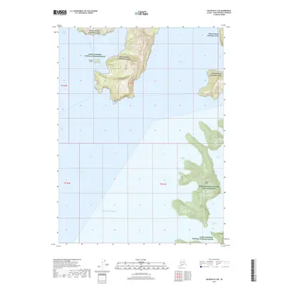
2017 · Seldovia B-2 NE
USGS Topo · 1:25,000
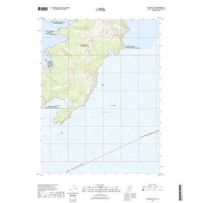
2017 · Seldovia B-2 SW
USGS Topo · 1:25,000
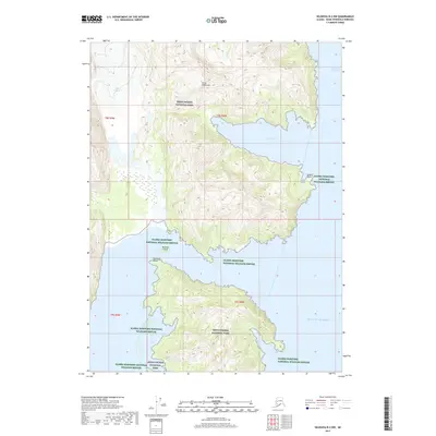
2017 · Seldovia B-2 NW
USGS Topo · 1:25,000
2017 · Seldovia B-1 SW
USGS Topo · 1:25,000
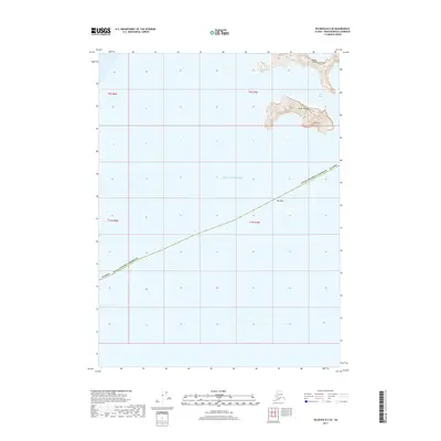
2017 · Seldovia B-2 SE
USGS Topo · 1:25,000