
1953 Map of Seldovia B-2
USGS Topo · Published 1954About this map
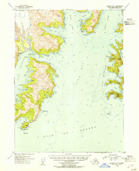
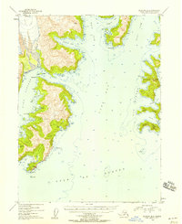
Yalik Glacier flows from the northwest corner of this coastal landscape, marking the transition from high glacial terrain to the intricate fjords of the Kenai Peninsula. The map reveals a complex maritime environment centered on Nuka Bay, where the massive Nuka Island is separated from the mainland by the narrow Nuka Passage. This era of surveying reflects a sparsely populated wilderness, indicated by scattered Cabins and a lone Cabin situated along the rugged shorelines of Nuka Island and near Yalik Bay.
Find a feature on this map
37 named features on this map. Tap any name to fly to it.
Don’t see what you’re looking for? This feature index may not catch every label — zoom into the map to look around manually.
Map Details
Editions of this 1953 Seldovia B-2 Map
3 editions found
Other maps of this area

1951 · Seldovia
USGS Topo · 1:250,000

1951 · Seldovia A-3
USGS Topo · 1:63,360

1951 · Seldovia B-2
USGS Topo · 1:63,360

1951 · Seldovia B-3
USGS Topo · 1:63,360

1951 · Seldovia C-3
USGS Topo · 1:63,360

1952 · Seldovia A-3
USGS Topo · 1:63,360

1952 · Seldovia B-3
USGS Topo · 1:63,360

1953 · Seldovia C-3
USGS Topo · 1:63,360
1953 · Seldovia B-1
USGS Topo · 1:63,360

1953 · Seldovia C-2
USGS Topo · 1:63,360