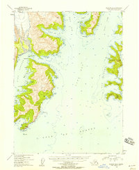
1953 Map of Seldovia B-2
USGS Topo · Published 1958About this map
Nuka Island and the neighboring Pye Islands dominate this 1950s coastal survey of the Kenai Peninsula's southern edge. The map reveals a maritime environment defined by deep-water fjords like Nuka Bay and the narrow Nuka Passage. Evidence of human activity is sparse, marked by small settlements like Berger and scattered cabins along the shoreline, particularly near Mikes Bay and Home Cove.
Find a feature on this map
37 named features on this map. Tap any name to fly to it.
Don’t see what you’re looking for? This feature index may not catch every label — zoom into the map to look around manually.
Map Details
Editions of this 1953 Seldovia B-2 Map
3 editions found
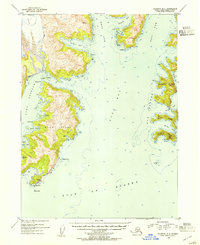
Other maps of this area

1951 · Seldovia
USGS Topo · 1:250,000

1951 · Seldovia A-3
USGS Topo · 1:63,360

1951 · Seldovia B-2
USGS Topo · 1:63,360

1951 · Seldovia B-3
USGS Topo · 1:63,360

1951 · Seldovia C-3
USGS Topo · 1:63,360

1952 · Seldovia A-3
USGS Topo · 1:63,360

1952 · Seldovia B-3
USGS Topo · 1:63,360

1953 · Seldovia C-3
USGS Topo · 1:63,360
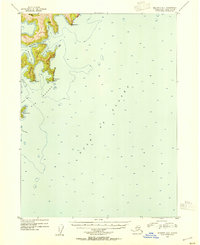
1953 · Seldovia B-1
USGS Topo · 1:63,360

1953 · Seldovia B-2
USGS Topo · 1:63,360