
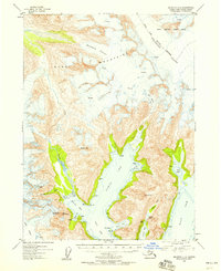
1953 Map of Seldovia C-2
USGS Topo · Published 1955About this map
Kachemak Glacier and the Dinglestadt Glacier dominate the high-altitude landscape of the southern Kenai Mountains in this early 1950s survey. This coastal wilderness is defined by its deep fjords and glacial drainage, where the Nuka River cuts through the western terrain toward the complex waterways of Beauty Bay and the West Arm. The mapping detail captures several maritime landmarks such as Pilot Harbor and James Lagoon, alongside a few isolated cabins that indicate a sparse human footprint in this period. The survey also identifies the southwestern boundary of the Kenai National Moose Range. Geodetic control points like Mt Diablo and prominent peaks like Storm Mountain serve as essential navigational markers among the numerous unnamed crevasses and rocky outcrops characterizing the peninsula's interior.
Find a feature on this map
36 named features on this map. Tap any name to fly to it.
Don’t see what you’re looking for? This feature index may not catch every label — zoom into the map to look around manually.
Map Details
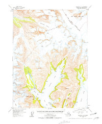
Editions of this 1953 Seldovia C-2 Map
3 editions found
Other maps of this area

1950 · Seldovia D-2
USGS Topo · 1:63,360

1951 · Seldovia
USGS Topo · 1:250,000

1951 · Seldovia D-3
USGS Topo · 1:63,360

1951 · Seldovia B-2
USGS Topo · 1:63,360

1951 · Seldovia B-3
USGS Topo · 1:63,360

1951 · Seldovia C-3
USGS Topo · 1:63,360

1951 · Seldovia D-1
USGS Topo · 1:63,360

1952 · Seldovia B-3
USGS Topo · 1:63,360

1953 · Seldovia C-3
USGS Topo · 1:63,360
1953 · Seldovia B-1
USGS Topo · 1:63,360