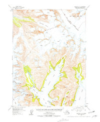
1953 Map of Seldovia C-2
USGS Topo · Published 1958About this map
The Kenai Mountains dominate this 1950s survey, where massive ice fields like the Kachemak Glacier and Dinglestadt Glacier carve deep into the Alaskan landscape. These frozen systems feed a network of coastal inlets, most notably the North Arm and West Arm, which converge into the wider reach of Beauty Bay. This era of the Alaskan wilderness is marked by the interface of the Kenai National Moose Range and the sea, showing a coastline largely devoid of permanent development save for isolated markers like Cabin near James Lagoon.
Find a feature on this map
39 named features on this map. Tap any name to fly to it.
Don’t see what you’re looking for? This feature index may not catch every label — zoom into the map to look around manually.
Map Details
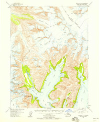
Editions of this 1953 Seldovia C-2 Map
3 editions found

Other maps of this area

1950 · Seldovia D-2
USGS Topo · 1:63,360

1951 · Seldovia
USGS Topo · 1:250,000

1951 · Seldovia D-3
USGS Topo · 1:63,360

1951 · Seldovia B-2
USGS Topo · 1:63,360

1951 · Seldovia B-3
USGS Topo · 1:63,360

1951 · Seldovia C-3
USGS Topo · 1:63,360

1951 · Seldovia D-1
USGS Topo · 1:63,360

1952 · Seldovia B-3
USGS Topo · 1:63,360

1953 · Seldovia C-3
USGS Topo · 1:63,360
1953 · Seldovia B-1
USGS Topo · 1:63,360