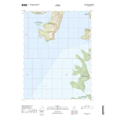
2017 Map of Seldovia B-2 NE
USGS Topo · Published 2017About this map
The coastal wilderness of the Kenai Fjords National Park and the Alaska Maritime National Wildlife Refuge dominates this southern Kenai Peninsula coastline. This maritime landscape is defined by deep glacial inlets and isolated landmasses like Ragged Island and the Pye Islands. Significant waterways including McCarty Fiord and West Arm Nuka Bay cut into the mainland, creating a network of sheltered spots like Surprise Bay and Ariadne Cove. On the mainland, Harrington Point serves as a prominent landmark overlooking the entrance to these tidal waters. This topographic survey captures the intricate relationship between the open Gulf of Alaska and the jagged fjord-indented coast before it reaches the interior ice fields.
Find a feature on this map
19 named features on this map. Tap any name to fly to it.
Don’t see what you’re looking for? This feature index may not catch every label — zoom into the map to look around manually.
Map Details
Editions of this 2017 Seldovia B-2 NE Map
This is the sole edition of this map. No revisions or reprints were ever made.
Other maps of this area

1951 · Seldovia
USGS Topo · 1:250,000

1951 · Seldovia B-2
USGS Topo · 1:63,360
1953 · Seldovia B-1
USGS Topo · 1:63,360

1953 · Seldovia B-2
USGS Topo · 1:63,360

1953 · Seldovia C-2
USGS Topo · 1:63,360
1953 · Seldovia C-1
USGS Topo · 1:63,360

1963 · Seldovia
USGS Topo · 1:250,000
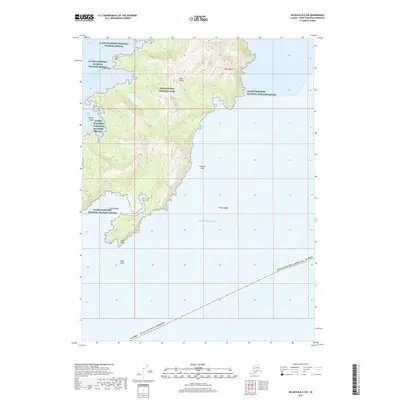
2017 · Seldovia B-2 SW
USGS Topo · 1:25,000
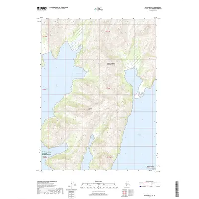
2017 · Seldovia C-2 SE
USGS Topo · 1:25,000
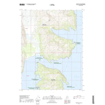
2017 · Seldovia B-2 NW
USGS Topo · 1:25,000