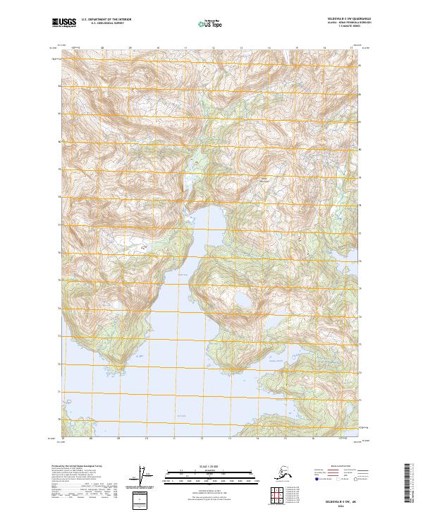
2024 Map of Seldovia B-3 SW
USGS Topo · Published 2024About this map
The southern reaches of the Kenai Peninsula are dominated by the winding coastal inlets of the Alaska Maritime National Wildlife Refuge. This maritime landscape is defined by the deep indentations of Taylor Bay and the protected waters of Port Dick. The survey highlights a shoreline characterized by sharp elevation changes and secluded coastal features like Sunday Harbor and Takoma Cove. This area remains largely defined by its natural geography rather than human infrastructure, serving as a vital sanctuary within the national wildlife refuge system. The absence of road networks emphasizes the reliance on water access and the preserved state of this coastal ecosystem at the time of this 2024 publication.
Find a feature on this map
12 named features on this map. Tap any name to fly to it.
Don’t see what you’re looking for? This feature index may not catch every label — zoom into the map to look around manually.
Map Details
Editions of this 2024 Seldovia B-3 SW Map
This is the sole edition of this map. No revisions or reprints were ever made.
Other maps of this area

1951 · Seldovia
USGS Topo · 1:250,000

1951 · Seldovia A-3
USGS Topo · 1:63,360

1951 · Seldovia B-4
USGS Topo · 1:63,360

1951 · Seldovia B-3
USGS Topo · 1:63,360

1951 · Seldovia A-4
USGS Topo · 1:63,360

1952 · Seldovia A-3
USGS Topo · 1:63,360

1952 · Seldovia B-3
USGS Topo · 1:63,360

1953 · Seldovia B-4
USGS Topo · 1:63,360
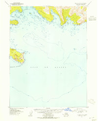
1953 · Seldovia A-4
USGS Topo · 1:63,360

1963 · Seldovia
USGS Topo · 1:250,000