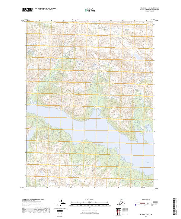
2024 Map of Seldovia B-4 SE
USGS Topo · Published 2024About this map
Alaska Maritime National Wildlife Refuge dominates this coastal section of the Kenai Peninsula, where the landscape is defined by the deep inlet of Port Dick. This 2024 topographic rendering captures the interaction between the high coastal peaks and the maritime environment. The terrain rises sharply from the shoreline, with contours illustrating the steep elevation changes characteristic of this undeveloped stretch of the Alaska coastline. The map serves as a primary reference for the intricate shoreline and the surrounding protected wilderness, detailing the specific township and range boundaries such as t10s r12w and t10s r11w that organize this roadless territory. It is an essential document for understanding the contemporary state of these protected federal lands and the complex geography of the peninsula's southern fjords.
Find a feature on this map
8 named features on this map. Tap any name to fly to it.
Don’t see what you’re looking for? This feature index may not catch every label — zoom into the map to look around manually.
Map Details
Editions of this 2024 Seldovia B-4 SE Map
This is the sole edition of this map. No revisions or reprints were ever made.
Other maps of this area

1951 · Seldovia
USGS Topo · 1:250,000

1951 · Seldovia A-3
USGS Topo · 1:63,360

1951 · Seldovia B-4
USGS Topo · 1:63,360

1951 · Seldovia B-3
USGS Topo · 1:63,360

1951 · Seldovia A-4
USGS Topo · 1:63,360

1952 · Seldovia A-3
USGS Topo · 1:63,360

1952 · Seldovia B-3
USGS Topo · 1:63,360

1953 · Seldovia B-4
USGS Topo · 1:63,360
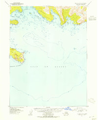
1953 · Seldovia A-4
USGS Topo · 1:63,360

1963 · Seldovia
USGS Topo · 1:250,000