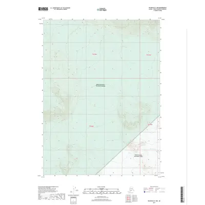
2017 Map of Seldovia D-1 NW
USGS Topo · Published 2017About this map
The Kenai National Wildlife Refuge dominates the landscape of this high-latitude terrain, where ice and elevation define the physical boundaries. The map provides a detailed view of the interaction between glacial systems and protected parklands, specifically where the edge of the Tustumena Glacier meets the extensive Harding Icefield. This frozen environment is split between two major federal jurisdictions, with the south-eastern corner falling under the management of Kenai Fjords National Park. The survey captures the contour of the ice and the surrounding topography at a time of significant geological interest, illustrating the sheer scale of the icefields that remain central to the Kenai Peninsula’s wilderness character.
Find a feature on this map
8 named features on this map. Tap any name to fly to it.
Don’t see what you’re looking for? This feature index may not catch every label — zoom into the map to look around manually.
Map Details
Editions of this 2017 Seldovia D-1 NW Map
This is the sole edition of this map. No revisions or reprints were ever made.
Other maps of this area

1944 · Kenai
USGS Topo · 1:250,000

1950 · Kenai
USGS Topo · 1:250,000

1950 · Seldovia D-2
USGS Topo · 1:63,360

1951 · Seldovia
USGS Topo · 1:250,000

1951 · Kenai A-2
USGS Topo · 1:63,360

1951 · Kenai A-1
USGS Topo · 1:63,360

1951 · Seldovia D-1
USGS Topo · 1:63,360

1952 · Kenai A-1
USGS Topo · 1:63,360

1952 · Kenai A-2
USGS Topo · 1:63,360

1953 · Seldovia D-2
USGS Topo · 1:63,360