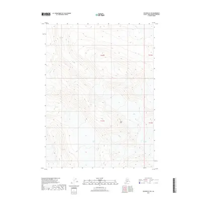
2017 Map of Seldovia D-2 NE
USGS Topo · Published 2017About this map
Truuli Glacier and the neighboring Chernof Glacier define this high-altitude landscape of the Kenai Peninsula. This 2017 survey documents a significant glacial corridor, where the ice fields of the Tustumena Glacier meet the rugged prominence of Truuli Peak. The drainage patterns are clearly marked, showing the headwaters of Truuli Cr and the upper reaches of the Fox River as they carve through the mountain terrain. The map provides a precise record of these ice masses and their associated hydrologic features, serving as a critical baseline for understanding the glacial extent in this part of Alaska during the early twenty-first century.
Find a feature on this map
10 named features on this map. Tap any name to fly to it.
Don’t see what you’re looking for? This feature index may not catch every label — zoom into the map to look around manually.
Map Details
Editions of this 2017 Seldovia D-2 NE Map
This is the sole edition of this map. No revisions or reprints were ever made.
Other maps of this area

1944 · Kenai
USGS Topo · 1:250,000

1950 · Kenai
USGS Topo · 1:250,000

1950 · Seldovia D-2
USGS Topo · 1:63,360

1951 · Seldovia
USGS Topo · 1:250,000

1951 · Kenai A-2
USGS Topo · 1:63,360

1951 · Kenai A-1
USGS Topo · 1:63,360

1951 · Seldovia D-1
USGS Topo · 1:63,360

1952 · Kenai A-1
USGS Topo · 1:63,360

1952 · Kenai A-2
USGS Topo · 1:63,360

1953 · Seldovia D-2
USGS Topo · 1:63,360