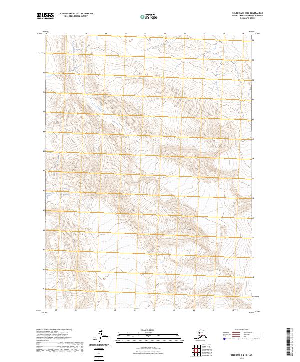
2024 Map of Seldovia D-2 NE
USGS Topo · Published 2024About this map
Truuli Peak anchors the high country of the Kenai Peninsula in this contemporary topographic record. The landscape is defined by the steep, glaciated terrain of the Kenai Wilderness (Andrew Simons Unit), a protected expanse within the larger Kenai National Wildlife Refuge. Drainage patterns across these elevations are marked by the headwaters of Truuli Creek and the southern flow of the Fox River. The lack of road infrastructure or named settlements reflects the strictly preserved nature of this wilderness area, where the Public Land Survey System grid lines of t2s r7w and t3s r7w overlay a territory governed by natural processes rather than human development.
Find a feature on this map
9 named features on this map. Tap any name to fly to it.
Don’t see what you’re looking for? This feature index may not catch every label — zoom into the map to look around manually.
Map Details
Editions of this 2024 Seldovia D-2 NE Map
This is the sole edition of this map. No revisions or reprints were ever made.
Other maps of this area

1944 · Kenai
USGS Topo · 1:250,000

1950 · Kenai
USGS Topo · 1:250,000

1950 · Seldovia D-2
USGS Topo · 1:63,360

1951 · Seldovia
USGS Topo · 1:250,000

1951 · Kenai A-2
USGS Topo · 1:63,360

1951 · Kenai A-1
USGS Topo · 1:63,360

1951 · Seldovia D-1
USGS Topo · 1:63,360

1952 · Kenai A-1
USGS Topo · 1:63,360

1952 · Kenai A-2
USGS Topo · 1:63,360

1953 · Seldovia D-2
USGS Topo · 1:63,360