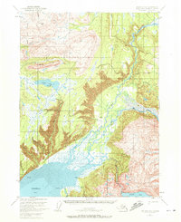
1951 Map of Seldovia D-3
USGS Topo · Published 1972About this map
The Kenai National Moose Range dominates this mid-century survey of the Kenai Peninsula’s diverse interior. The landscape transitions from the high peaks of Ptarmigan Head and the Boxcar Hills down toward the intricate hydrology of the Fox River valley. This glacial-fed system creates a complex network of braids and marshes, including Clearwater Slough, eventually meeting the tidal influence of Kachemak Bay and its extensive Mud Flat.
Find a feature on this map
21 named features on this map. Tap any name to fly to it.
Don’t see what you’re looking for? This feature index may not catch every label — zoom into the map to look around manually.
Map Details
Editions of this 1951 Seldovia D-3 Map
3 editions found
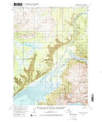
Other maps of this area

1944 · Kenai
USGS Topo · 1:250,000

1948 · Seldovia C-4
USGS Topo · 1:63,360

1949 · Seldovia C-4
USGS Topo · 1:62,500

1949 · Seldovia D-4
USGS Topo · 1:63,360

1950 · Kenai
USGS Topo · 1:250,000

1950 · Seldovia D-2
USGS Topo · 1:63,360

1951 · Seldovia D-4
USGS Topo · 1:63,360

1951 · Seldovia
USGS Topo · 1:250,000

1951 · Seldovia D-3
USGS Topo · 1:63,360

1951 · Kenai A-3
USGS Topo · 1:63,360