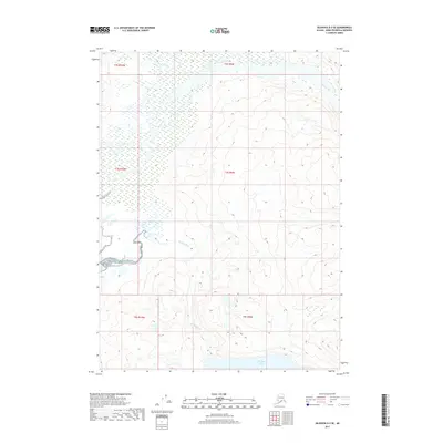
2017 Map of Seldovia D-3 SE
USGS Topo · Published 2017About this map
Bradley Lake sits at the southern edge of this Kenai Peninsula landscape, serving as a primary hydrological basin for the glacial runoff and mountain streams of the region. The drainage patterns are defined by the Bradley River, which winds westward through the center of the sheet, while the northern reaches are marked by the braided channels of the Fox River and the meandering flow of Sheep Creek. This 2017 survey illustrates the complex relationship between the high alpine contours and the sprawling wetlands of the valley floors. Unlike coastal maps that show human infrastructure, this section of the Seldovia quadrangle focuses on the raw hydrology of the Alaska wilderness, where river systems like the Bradley River shift through wide alluvial plains before reaching the deeper waters of the lake.
Find a feature on this map
10 named features on this map. Tap any name to fly to it.
Don’t see what you’re looking for? This feature index may not catch every label — zoom into the map to look around manually.
Map Details
Editions of this 2017 Seldovia D-3 SE Map
This is the sole edition of this map. No revisions or reprints were ever made.
Other maps of this area

1950 · Seldovia D-2
USGS Topo · 1:63,360

1951 · Seldovia
USGS Topo · 1:250,000

1951 · Seldovia D-3
USGS Topo · 1:63,360

1951 · Seldovia C-3
USGS Topo · 1:63,360

1953 · Seldovia C-3
USGS Topo · 1:63,360

1953 · Seldovia C-2
USGS Topo · 1:63,360

1953 · Seldovia D-2
USGS Topo · 1:63,360
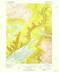
1953 · Seldovia D-3
USGS Topo · 1:63,360

1963 · Seldovia
USGS Topo · 1:250,000
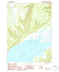
1987 · Seldovia D-3 SW
USGS Topo · 1:25,000